Indonesia 印度尼西亚 => A Country of Beautiful Wood
Indonesia 印度尼西亚 => A Country of Beautiful Wood
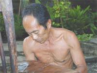 The Artisans |
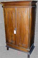
 Indonesian Furniture Selection |
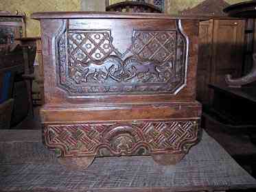
 The Objects |
 History of Indonesian Furniture |
Indonesia 印度尼西亚 => A Country of Beautiful Wood
Updated 2023-11-09 09:24:11
Indonesia is a country on the continent Asia, her capital is Jakarta. Here is the hierarchy of the Indonesia administrative divisions: Indonesia is subdivided into provinces, that are at their turn subdivided into regencies (kabupaten), cities (kota), that are at their turn subdivided into districts, that are at their turn subdivided into towns and villages.
The names of countries/territories of the world are taught in English and Chinese. This collection of precious dry lands that shares the whole mankind includes not only the world's independent countries, but also specific areas that are not a UNUnited Nations: We the peoples...A stronger UN for a better world. member. Please visit the table of male and female genders of country names in French.
1
2
3
4
5
6
7
8
9
10
11
12
13
14
15
16
17
18
19
20
21
22
23
24
25
26
27
28
29
30
31
32
33
34
35
36
37
38
39
40
Give us feedback (37)
